


Latest tracks
 | Comanegra i Pic de les Bruixes | 7.96 km 470.48 m |
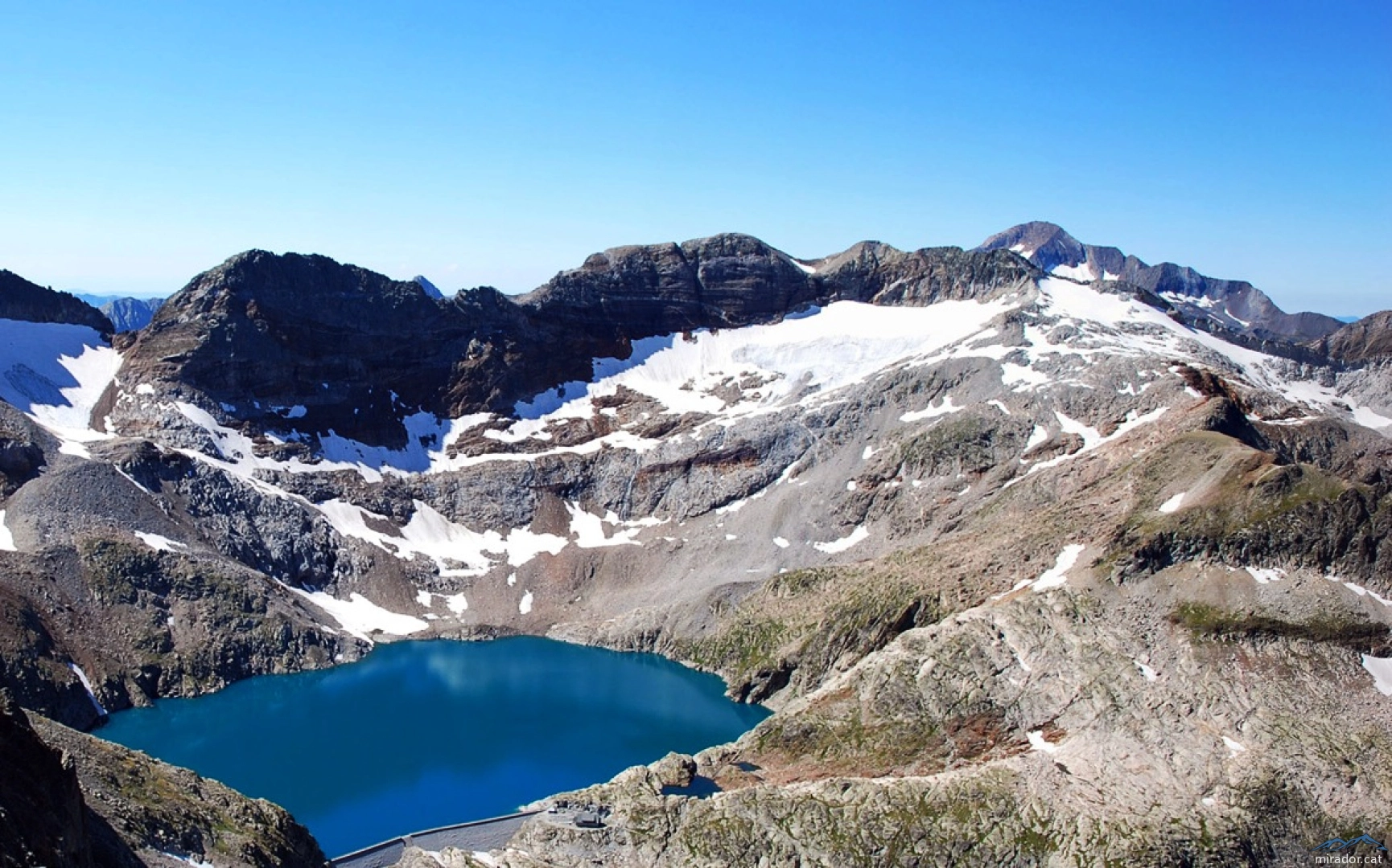
 | Tuca de Ballibierna | 12.11 km 1,860.14 m |
| Queralbs ⛰ Puigmal (Puigmal d'Er) | 22.09 km 1,822.16 m |
 | JJ | 53.20 km 6,353.63 m |
| Tossa Plana de Lles i La Muga des del Refugi del Cap del Rec | 16.30 km 1,194.67 m |
| Coll de Banyuls-Pic Estela-Puig de Sallfort-Torre Madaloc-Batteria 500 | 20.42 km 275,665.28 m |
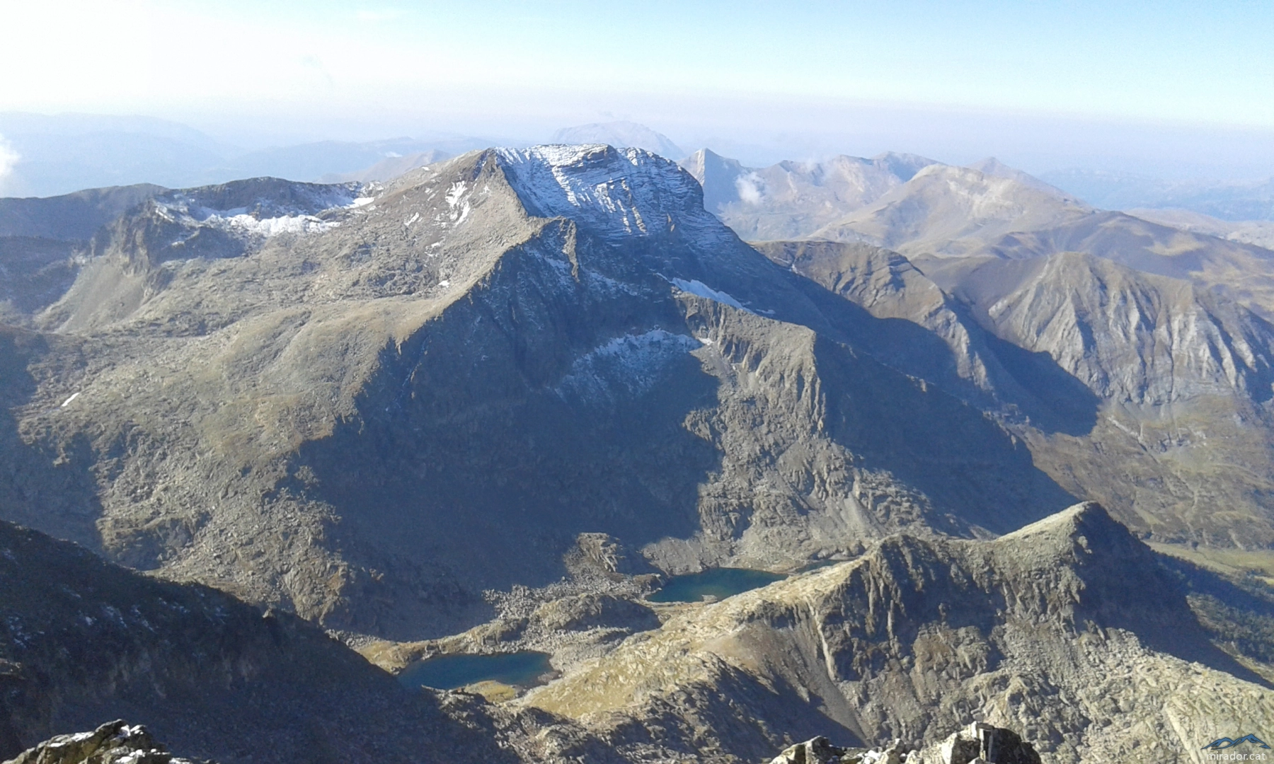
| Pic del Canigó | 22.38 km 3,209.88 m |
| 2024-08-11 Tusse de Montarqué | 3.88 km 419.82 m |
| 2023-05-13 - Sant Antoni (1361m) 100 Cims on Wikiloc | 7.47 km 443.86 m |
| Excursión de mañana-Pico Salvaguarda | 12.24 km 108,007.83 m |