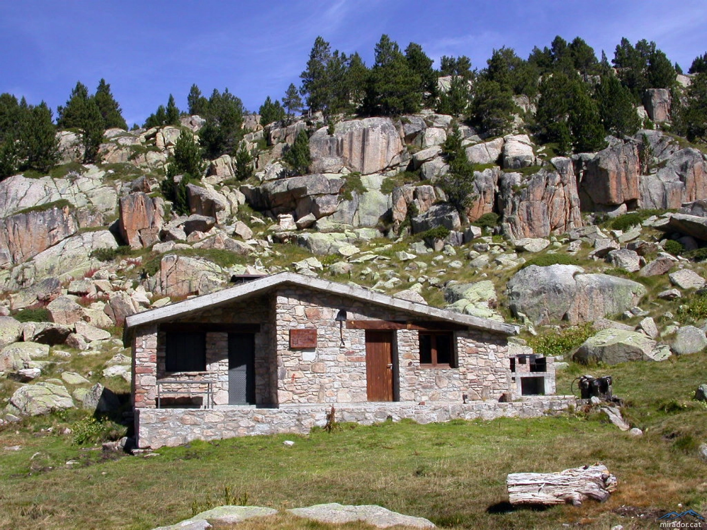
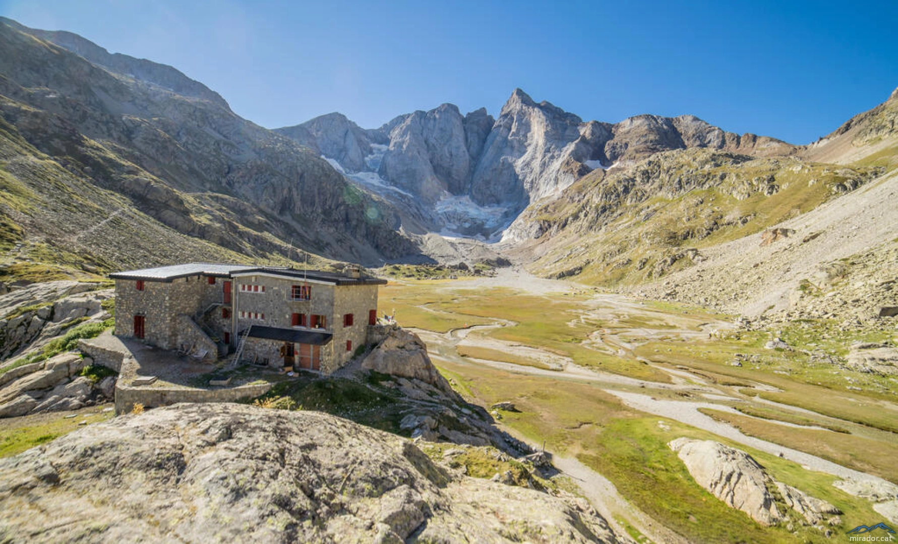
Refugi d'Ensagents
2,425.00 m
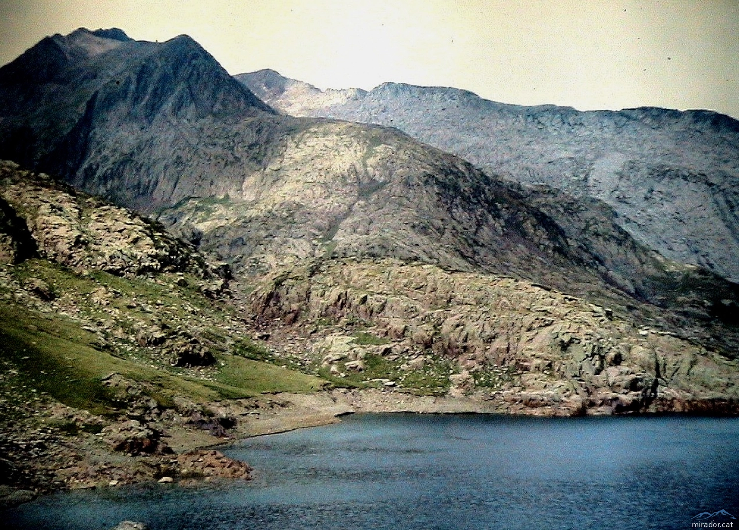
Pic de Sallafort
993.50 m
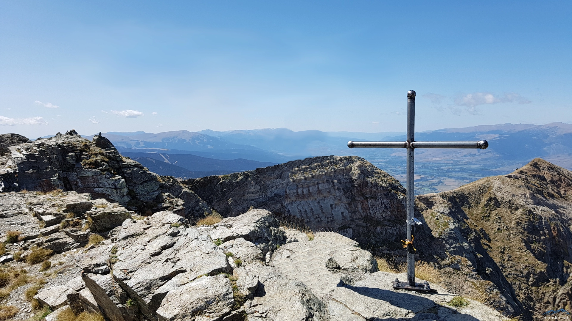
Tossal Bovinar
2,842.30 m

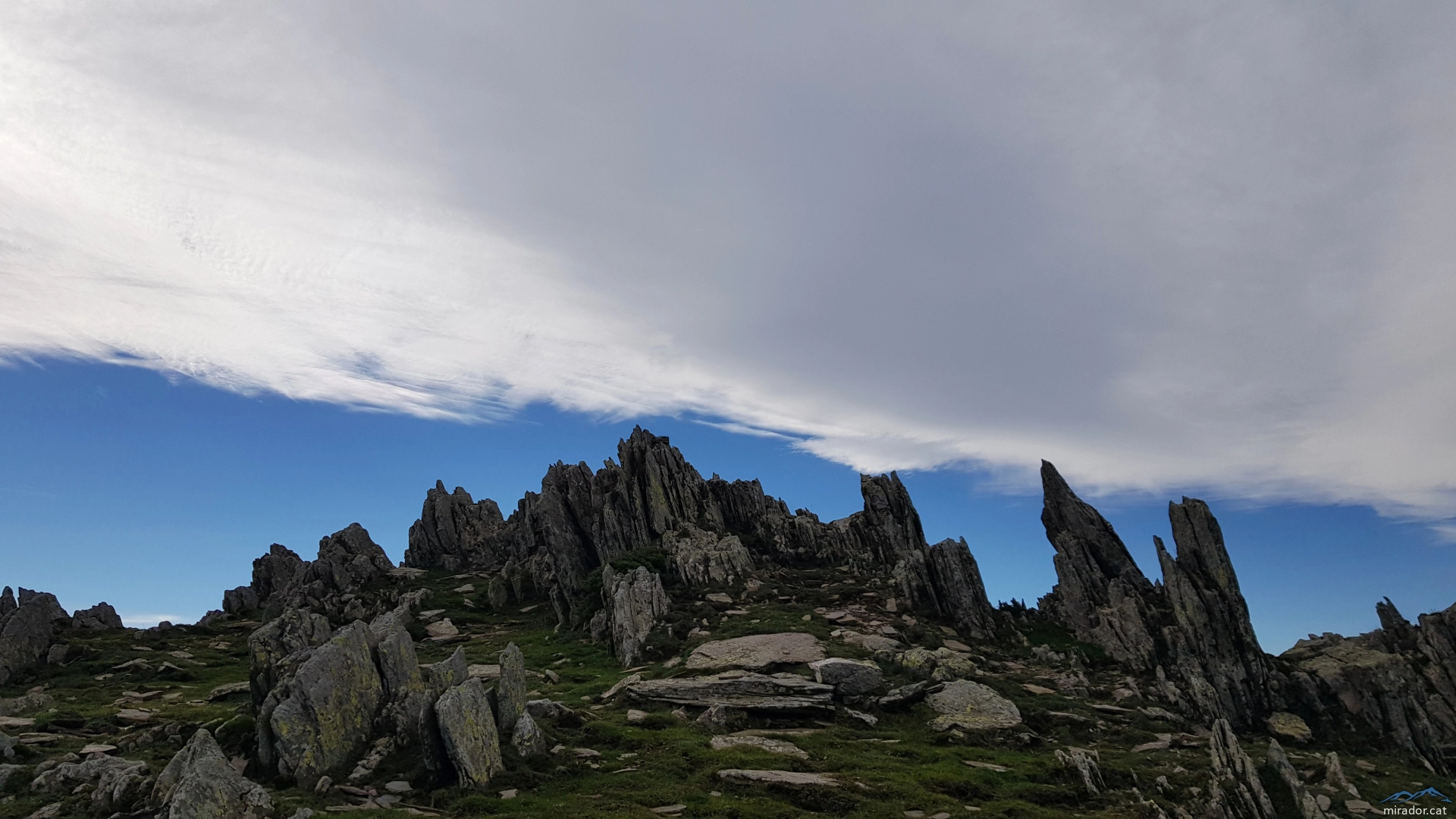
Roca Gelera
1,110.00 m
Pic de Certascan
2,853.00 m

Tuc deth Pòrt de Vielha
2,605.60 m

Tuc de Ratera
2,861.30 m

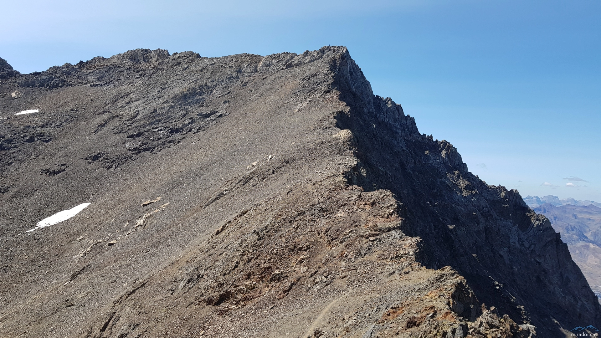
Pic de Contraix
2,958.00 m
Refuge des Oulettes de Gaube
2,151.00 m
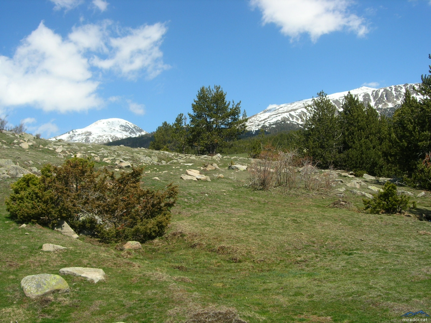
Cambra d'Ase
2,750.00 m

Gra de Fajol Petit
2,566.90 m
Latest tracks
 | Roc Beneïdor (100 cim NE) | 8.04 km 361.93 m |
 | Puig de Bestracà | 6.33 km 389.70 m |
| Senterada - Montcortès - Pobla de Segur | 35.83 km 1,393.39 m |
| Comanegra i Pic de les Bruixes | 7.96 km 470.48 m |
| Queralbs ⛰ Puigmal (Puigmal d'Er) | 22.09 km 1,822.16 m |
 | JJ | 53.20 km 6,353.63 m |
| Tossa Plana de Lles i La Muga des del Refugi del Cap del Rec | 16.30 km 1,194.67 m |
| Coll de Banyuls-Pic Estela-Puig de Sallfort-Torre Madaloc-Batteria 500 | 20.42 km 275,665.28 m |
| Pic del Canigó | 22.38 km 3,209.88 m |
| 2024-08-11 Tusse de Montarqué | 3.88 km 419.82 m |